
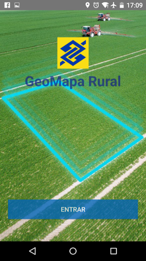
Features GeoMapa Rural
The Bank of Brazil provides support tool to farmers: the "Rural geo map" application for use on smartphones and tablets.
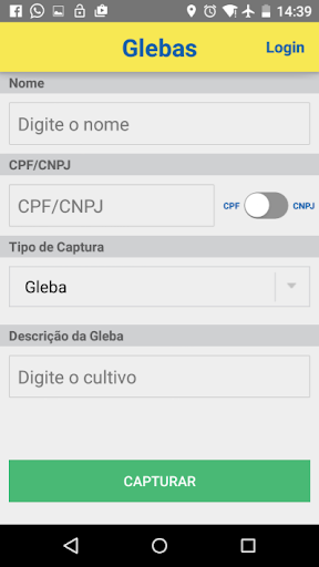
It is an innovative solution to capture the coordinates (latitude and longitude) of the areas of rural property, which generates information necessary for contracting loans in BB, helping to gain speed and efficiency in the credit decision.The application allows you to save your data for testing or validation of the area without the need for authentication.
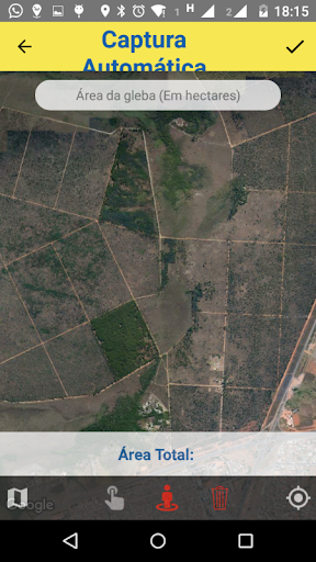
For the transmission of information, login is allowed for both individuals and for corporations.Are available 02 operational modes: Auto Capture - where the user makes the outline of the area and every 10 seconds the devices internal GPS scores a point; and Capture Manual - marking up the points, on site, using the GPS function or with the help of a satellite map.
This last option will only work with the existence of network and function of mobile data enabled device.In addition, the web page "www.bb.com.br/agronegocios" features viewing features and printing polygon transmitted to BB with their coordinates.
Here it is also possible to upload files .gpx, .kml and shapefile in .zip format.
Social Features
Connect and share with friends and the community.
Fitness Tracking
Track your workouts and monitor your health metrics.
Financial Tools
Manage your finances and track your expenses easily.
See the GeoMapa Rural in Action
Get the App Today
Available for Android 8.0 and above